Resource Monitoring
Spatial intelligence for smarter resource investment, development planning, and regulatory and environmental compliance.
Using our Dwell platform, Indufor harnesses remote sensing technologies and AI to generate actionable forest intelligence, monitoring tools, and precision solutions.
Our services for Resource Monitoring include:
ForestInsights
ForestInsights combines satellite imagery, spatial analysis and modelling to produce high-resolution GIS data layers describing the plantation resource. These layers provide consistent information on planted forest boundaries, species composition and stand age, supporting strategic planning, investment and policy.
ForestInsights helps users quickly understand a region, estate or wood basket by answering key questions:
- Where are plantations located?
- What is the age profile of the resource?
- How much area is approaching harvest?
- Proximity to processing facilities and infrastructure?
- Location and accessibility of smaller forest holdings?
Monitoring
Scalable, efficient forest and landscape monitoring.
Our satellite-based monitoring systems enable organisations to track forest and land use changes at scale. The Dwell platform integrates satellite imagery and alert systems into a user-friendly web interface, allowing teams to quickly review, triage, and share insights.
Trusted by Governments, regional authorities, industry partners, and investors for plantation monitoring, environmental compliance, and supply chain verification.
- Proactively prioritise and respond to change
- Demonstrate compliance and transparency
- Streamline monitoring operations with Dwell
Precision
We build AI-driven insights to optimise plantation management.
Our solutions include individual tree detection to calculate key metrics such as stocking rates and growth trends, enabling comprehensive forest assessments without the need for traditional sampling. These precision data layers integrate seamlessly into existing management systems, enhancing crop analysis and supporting more informed operational decisions.
- Full forest census (digital twin)
- Accurate individual tree metrics
- Crop development tracking and yield forecasting
- Informed, data-driven plantation management
Indufor has over 45 years’ experience in providing trusted, independent advice on forest intelligence to over 1,000 clients worldwide.
Meet our area experts
Pete Watt
Head of Resource Monitoring
Location: New Zealand
Position: Management
Chaplin Chan
Senior Consultant, Resource Monitoring
Location: New Zealand
Position: Experts
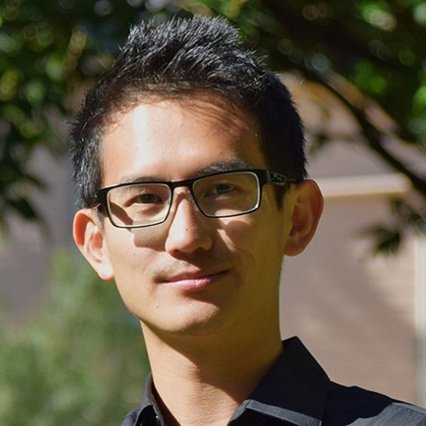

Rabins Gaudel
Consultant
Location: Finland
Position: Experts


Callum Haward
Analyst, Resource Monitoring
Location: New Zealand
Position: Experts


Andrew Holdaway
Senior Consultant, Resource Monitoring
Location: New Zealand
Position: Experts


Abdullah Madawi
Consultant, Resource Monitoring
Location: New Zealand
Position: Experts

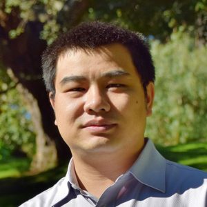
Kevin Tao
Consultant, Resource Monitoring
Location: New Zealand
Position: Experts


Chen Yang
Consultant, Resource Monitoring
Location: New Zealand
Position: Experts